Use cases
Every trail is different. So is every reason for capturing one.
TRLXR turns a captured trail — bike, walking, moto, SxS, 4x4 — into a 3D Scene that opens in a browser. No app, no download, no licence to view it.
Making one is the work: a capture pass over the site, then a conversion that needs real compute. Organisations can hand us either half.
See it by industry
Brands and sponsors
You pay for the jump, the bridge, the boardwalk, the whole park - and the return is a photo, a plaque, and the few hundred people who make the drive.
Put the feature itself in front of everyone else. A scan opens in a browser, travels as a link, and carries your branding inside the scene rather than on the edge of a picture.
- A sponsored feature or trail as a 3D Scene anyone can open and share
- Banners and signage placed inside the scene, not stuck on the edge of a photoIn build
- Product launches shown on the terrain the product was built for
- Share links and embeds that drop straight into campaigns and socials
- Works across bike, powersports, 4x4 and outdoor categories
Events and media
Don't assume anyone understands your course from a map, a profile and a highlight reel. Competitors turn up guessing, and so does the audience.
Give them the real ground before race day. Riders arrive knowing what they are dropping into, which takes risk out of the event, and coverage gets a format it has not had before.
- Navigable course preview as broadcast and social content
- Fan-facing course walk in the weeks before race day
- Rider and competitor recon from the real captured course
- A year-on-year archive of how a course has evolved
- Suits gravity, enduro, ultra-running, rally and offroad circuits alike
Trail design and construction
Your tender looks like everyone else's - GIS lines, a written methodology, and a client who cannot picture a metre of it. Then you price ground you have walked once.
Submit something the room can navigate, off the same capture you measure the site with. The bid and the build run from one record of what is actually there.
- 3D deliverables inside tender and bid responses
- Measure existing and proposed elements before mobilising
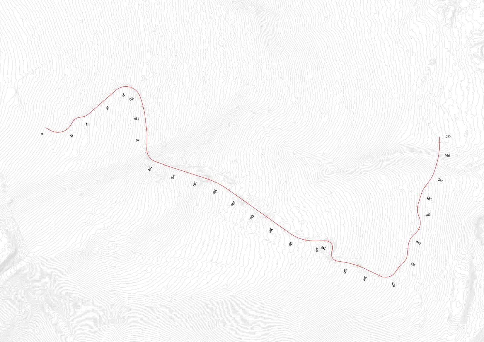
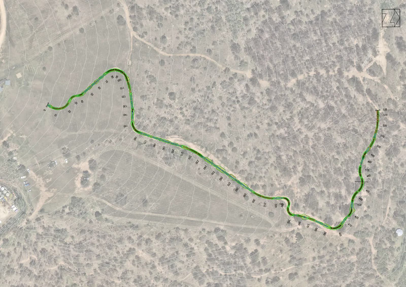
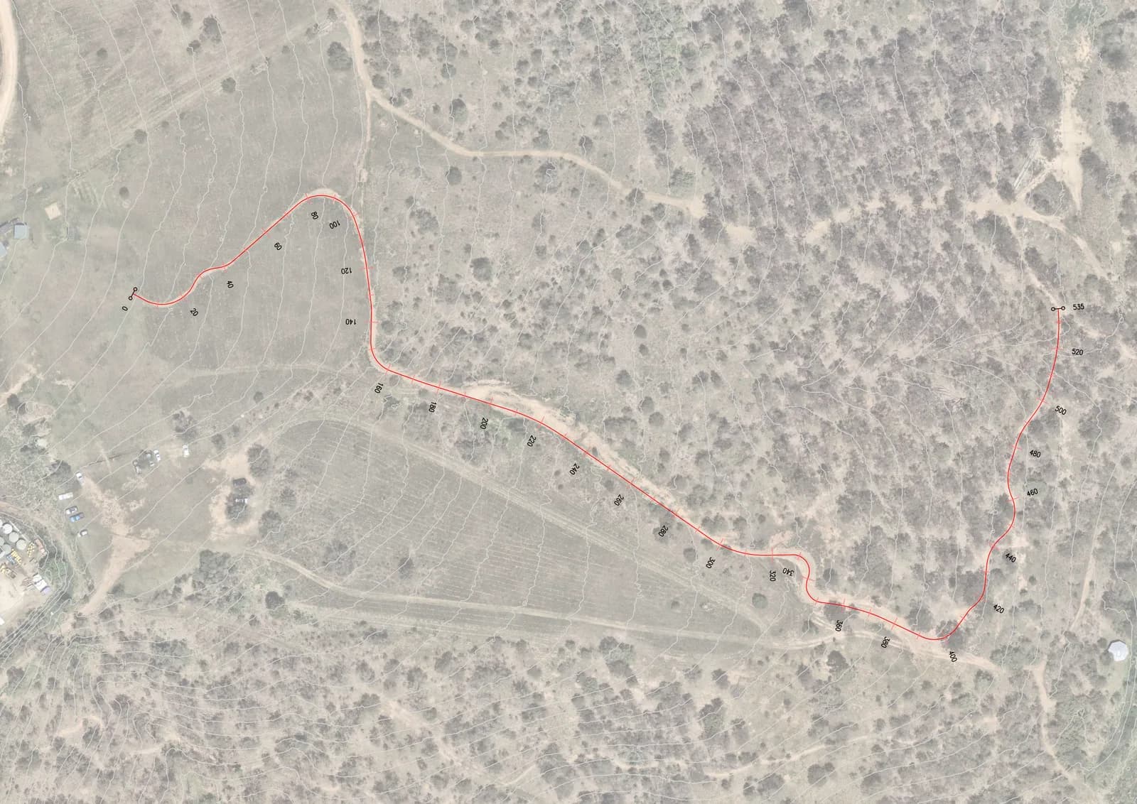
- Import a design alignment and set it over the captured groundIn build
- Progress capture and client sign-off through the build
- Fewer site visits on remote or difficult-access ground
Land managers and public agencies
What you know about your network is a stack of site visits, in different people's heads, from different years. The person who walked it has usually moved on.
Capture it once and the whole network is inspectable from a desk - measured, marked up, and identical for everyone who opens it.
- Measure existing trail elements - widths, grades, drops, structures
- Mark up and pin issues for contractors and volunteers
- Download a QR code for any view, for trailhead and feature signage
- Show works and proposals to stakeholders in a form they understand
- Asset records that don't rely on someone's memory of a site visit
Tourism and destination marketing
A photo sells the view. It never answers the question that decides the booking, which is whether this trail is for me, my knees or my kids.
Let them walk it before they book. Real gradient and real surface, so visitors arrive on ground they chose rather than ground they hoped for.
- A trail network - walk, ride, drive - as scans on your own site
- Show visitors what a trail is actually like, not what a photo suggests
- Measured grade off the real surface, so an access assessment starts from ground truth
- Content that works on the region's own pages, not just a third-party platform
Private estates and resorts
The people who most need to understand your land are rarely standing on it - a prospective buyer, a guest deciding what to do today, the crew quoting the next stage.
One navigable scan of the property answers all three, and answers them again next year without another walk-around for each visitor.
- Showcase trail amenity to guests, members and prospective buyers
- Wayfinding across a large or complex property
- Look at what a proposed line has to cross before committing to build
- Record what exists across an estate in one navigable scan
Emergency services and access management
The first time a crew sees difficult ground should not be the day they have to move on it - and the map does not show the washout, the gate or the turning circle that isn't one.
Capture the access route ahead of time and everyone briefs off the same picture. A scan is the ground as it was on the day it was taken, not a live feed, so it is for planning beforehand and for recording what changed after.
- Route and access assessment from real terrain, ahead of the day
- Fire trail and access track condition on the date of capture
- Remote-area planning and crew briefing from one shared view
- Re-capture after fire, flood or storm to record what changed
Riders, walkers and community
You find out what a trail is really like by riding it. On unfamiliar ground, at the wrong grade, that is an expensive way to find out.
Open the scan first. Every published scan opens to anyone with the link, with no account and nothing installed - and a free account adds three of your own.
- Preview a trail before riding or walking it
- Understand line choice, feature scale and commitment
- Measure, pin and draw on any scan you can open
- Upload up to three scans of your own, free
- Share a view as a link that opens exactly where you left it
Game development and simulation
Authored terrain reads as authored. Real ground has erosion, braiding and rock nobody sketches in, and getting to it means getting to it.
Work from captured trails instead. Ground truth for terrain authoring, and location scouting without the location.
- Real-world captured ground for in-game and simulation environments
- Ground truth for terrain authoring
- Location scouting without location travel
Where this is going
In developmentThe scan is the ground. Sensors say what it is doing.
A scan is fixed geometry - the site as it was on the day it was captured. Anchor live instruments to it and it becomes a record that keeps answering: how many people came through, how wet the ground is, and what has moved since last time.
- Trail counters
- Counts pinned where the counter physically stands, so a number on a report has a place in the scene. Eco-Counter and its like already publish an API to their own customers.
- Ground and weather
- Soil moisture, temperature and rainfall from sensors on the trail, read beside the section they describe. A wet-trail closure decided on a reading rather than a guess.
- Change over time
- Re-capture the same ground and hold the two scans against each other. Erosion, braiding, storm damage and build progress as a record rather than a recollection.
- Your instruments, your data
- The sensors belong to whoever owns the site, and so does what they measure. TRLXR is the layer that draws it - nothing has to be handed to a third-party platform to be seen.
If you already run counters or condition sensors on your trails, that is the conversation we want to be having now.
Access
Free to explore. An organisation for the rest.
Free account
No card required
- Open any published scan, with or without an account
- Measure, pin, draw and share a view on anything you can open
- Upload up to three scans of your own
- Your uploads publish to the community gallery and stay yours to delete
Capture and conversion are yours to do. The converter runs on your own machine.
Organisation
Talk to us
- More scans than a personal account, with no three-scan cap
- Private drafts - a scan stays yours until you publish it
- A team of up to four, with roles and invitations
- Scans owned by the organisation rather than by a person
We can capture and convert for you, or take your raw capture and do the conversion end to end.
How a scan gets made
Site to browser.
- 01
Capture
Drone grid over the site, ground passes for the detail. Ours or yours.
- 02
Convert
Photogrammetry to a metric splat. Heavy compute, off the website - on your machine or on ours.
- 03
Publish
The folder is uploaded and checked that it opens. Organisations hold it as a draft first.
- 04
Open
A link in a browser. No app, no download, no licence to view it.
Not on this list?
If your work involves ground that is hard to reach, hard to describe or hard to sell, it is worth a conversation.